İstanbul Aydın Üniversitesi Mimarlık ve Tasarım Dergisi
Tam metin
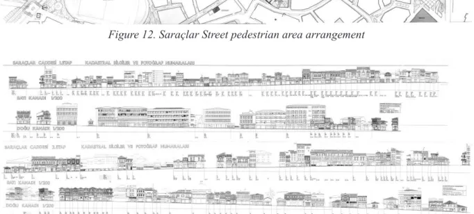
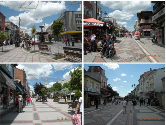
Şekil
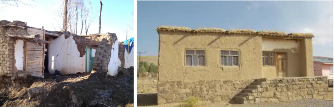
![Figure 1. Village of Bayramli / Van/ stone school building [Irven, H.] photographed by Hakan Irven Figure 2](https://thumb-eu.123doks.com/thumbv2/9libnet/4179653.64549/24.918.146.801.254.511/figure-village-bayramli-school-building-irven-photographed-figure.webp)
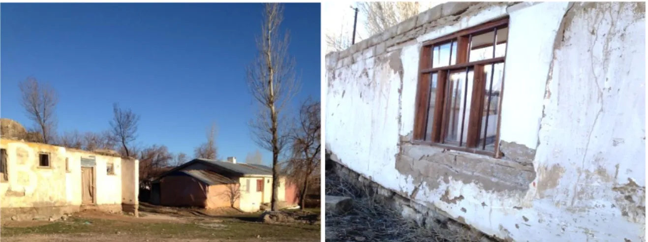
![Figure 3. Village of Karahan / Van / Application of wooden roof [4]](https://thumb-eu.123doks.com/thumbv2/9libnet/4179653.64549/25.918.169.732.140.351/figure-village-karahan-application-wooden-roof.webp)
Benzer Belgeler
When the participants were asked about the necessity of personal charac- teristics in the public relations profession, 66% of the respondents agreed that personal development
Koca Yaşar, seni elbette çok seven, yere göğe koya mayan çok sayıda dostların, milyonlarca okuyucun ve ardında koca bir halk var.. Ama gel gör ki onların
In this study, a design model was developed for the space planning of child care centers. In order to reach this aim, the child care centers were analyzed considering the
Due to lack of estrogen after menopause and low physical activity, postmenopausal women will have a high relative risk in coronary artery disease (CAD). Because
Valinin bu nazik zi yaretine kurucumuz Habib Edib Törehan kısa bir hitabe ile teşek kür etmiş, V ali de bu hi tabeye mukabelede bulunarak basını daime bir
Pasadena’daki Kaliforniya Tekno- loji Enstitüsü’nden jeolog ve Mars Bi- lim Laboratuvarı projesindeki bilim in- sanlarından biri olan John Grotzinger, metanın
Variety of different people /cultures Areas for young and adults Flexible spaces for Various uses Forms and Using quality Easier, Comfortable Use Long-lived designs Flexibility
Therefore, this chapter was about understanding public space, concept of public space, successful elements of public space and dimension of public space that has
