Regenerating The Spatial Patterns Of Contemporary Neighborhoods In Tehran Based On Traditional Neighborhood Patterns By Examining The Evolution Of Two Periods Of Qajar And Contemporary
Tam metin
Şekil
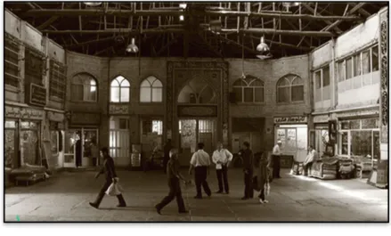
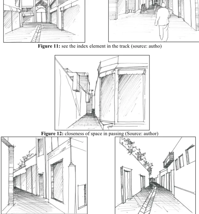
![Figure 5: contrasting spaces created on track with indoor and outdoor passages ] 13[ CHAMBER](https://thumb-eu.123doks.com/thumbv2/9libnet/4414872.75381/6.918.218.704.117.326/figure-contrasting-spaces-created-indoor-outdoor-passages-chamber.webp)
Benzer Belgeler
Buna bağ- li olarak; finansal kriz öncesi ve sonrasi dönemler için, yatirim bankasi ve dene- tim firmasi itibari ile ilk halka arz piyasalarinda kisa dönemli hisse senedi fiyat
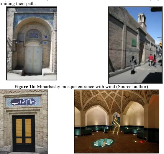
The differences existing in modern and contemporary mosques of Iran and previous Islamic architecture, and also the changes occurred up to the contemporary
THEORETICAL BACKGROUND SIMPLICITY IN ARCHITECTURE UNDERSTANDING AND EVOLUTION OF SIMPLICITY IN ARCHITECTURE SIMPLICITY CONCEPT IN INDOOR SPACE DEFINITION OF SIMPLICITY
Ahmet Cebeci, ideolojik bir bakış açısı ve hesaplamayla Türk nüfusunun Bulgaristan’da kalmaya devam etmesinin Türklerin lehine olacağını fakat yapılan hatanın
Hal buki, bütün bu yerler, başta bu defa seçildiği söylenen Haydar paşa gelmek üzere, liman olmak için dar, hele İstanbulun mühim bir transit merkezi
Şiraz hat ekolünün yetiştirdiği Mir Hubi-i Hüseyni olarak da tanınan bu hattat (Uzunçarşılı, onu Hoylu.. Mir Seyyid Hüseyin olarak belirtmiştir. 1998: 615-616)
• Terörizme karşı işbirli ği çağrısından birçok ülkenin ders almamış olduğunu belirten Cumhurbaşkanı, “Ben bu ülkelere zaman geç meden, daha
İstanbul Arkeoloji Müzeleri’nde bugün için sergilenen birçok eserin ortaya çıkartılmasında ve müzeye kazandırılmasında imzası bulunan, Aydın Vilayeti Asar-i
